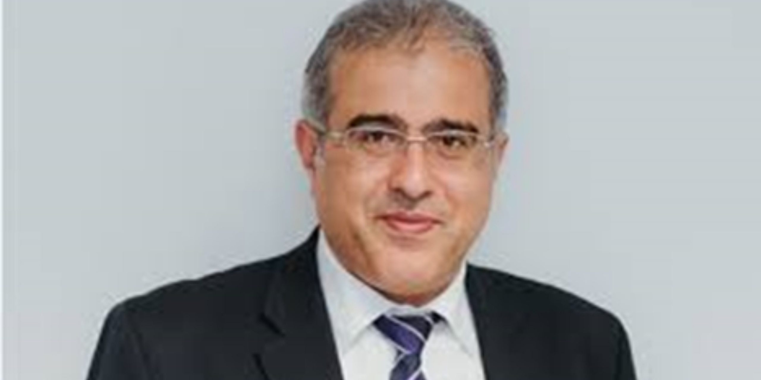
Professor Diofantos G. Hadjimitsis, coordinator of the EXCELSIOR H2020 Teaming project and CEO of the Centre of Excellence Eratosthenes of the Cyprus University of Technology (CUT), gave a lecture at the Free University of Chrysochous City on Wednesday, February 22, 2023, on the subject of “Satellite Remote Sensing Applications”.
The lecturer mentioned that this project, as well as the Eratosthenes Centre of Excellence, aims to conduct high level basic and applied research in the fields related to Earth observation through the combined use of space, remote sensing and geoinformatics technologies for the systematic and in-depth monitoring of the natural and built environment.
Mr. Hadjimitsis stressed the importance of the use of SENTINEL satellite data by the COPERNICUS programme, presenting more than forty applications of satellite data and satellite remote sensing techniques in Cyprus, such as the systematic monitoring of water quality in water reservoirs, marine pollution, air pollution, water leakage detection, applications in agriculture (detection of diseases in crops, irrigation management, measurement of carbon footprint in crops, etc.), applications in the field of agriculture (detection of diseases in crops, management of irrigation, measurement of carbon footprint in crops, etc.), etc. ά.). In addition, he spoke about applications for the identification of archaeological remains, natural risk management, forest fire detection and management, support for educational programmes, support for security and defence themes, land use studies and thematic mapping, etc.
Furthermore, he pointed out that the ERATOSTHENIS Centre of Excellence will become a hub of innovation and entrepreneurship in our country and a leading player in the Eastern Mediterranean region, with great economic and social benefits for Cyprus and Europe. He presented the satellite data receiving station which is expected to be installed, through the Centre, at the CYTA buildings. Through this station, the reception of satellite data in almost “real time” will be possible.
In conclusion, the Professor explained that satellite data and satellite remote sensing are useful tools for systematic monitoring and information gathering with a wide range of applications.
Source: University of Cyprus I Latest News (https://bit.ly/3EFWBRb)
