
On 25 January 2023, USRL researchers performed an intensive drone campaign at Athalassa Park in Nicosia to capture the vertical dispersion of pollution, from the surface up to an altitude of 1,000 m. This particular measurement targeted the concentration of black carbon (BC) emitted in the Nicosia urban area. This information will be used to define the constraints on chemistry transport models developed by the Climate and Atmosphere Research Centre (CARE-C) for predicting air quality in Cyprus.
Black carbon, also known as soot, is made of fine particles generated by inefficient combustion, and it is thought to be increasingly linked to heart and lung diseases. In addition, it is one of the main light-absorbing species and plays a substantial role in warming the atmosphere. It can be emitted by traffic emissions, especially from diesel vehicle exhaust, and also from domestic fireplaces, especially in the evening when domestic heating is mostly used. The location of the field campaign in Athalassa Park is downwind of Nicosia, and allows for the better capture of a pollution mix representative of the city.
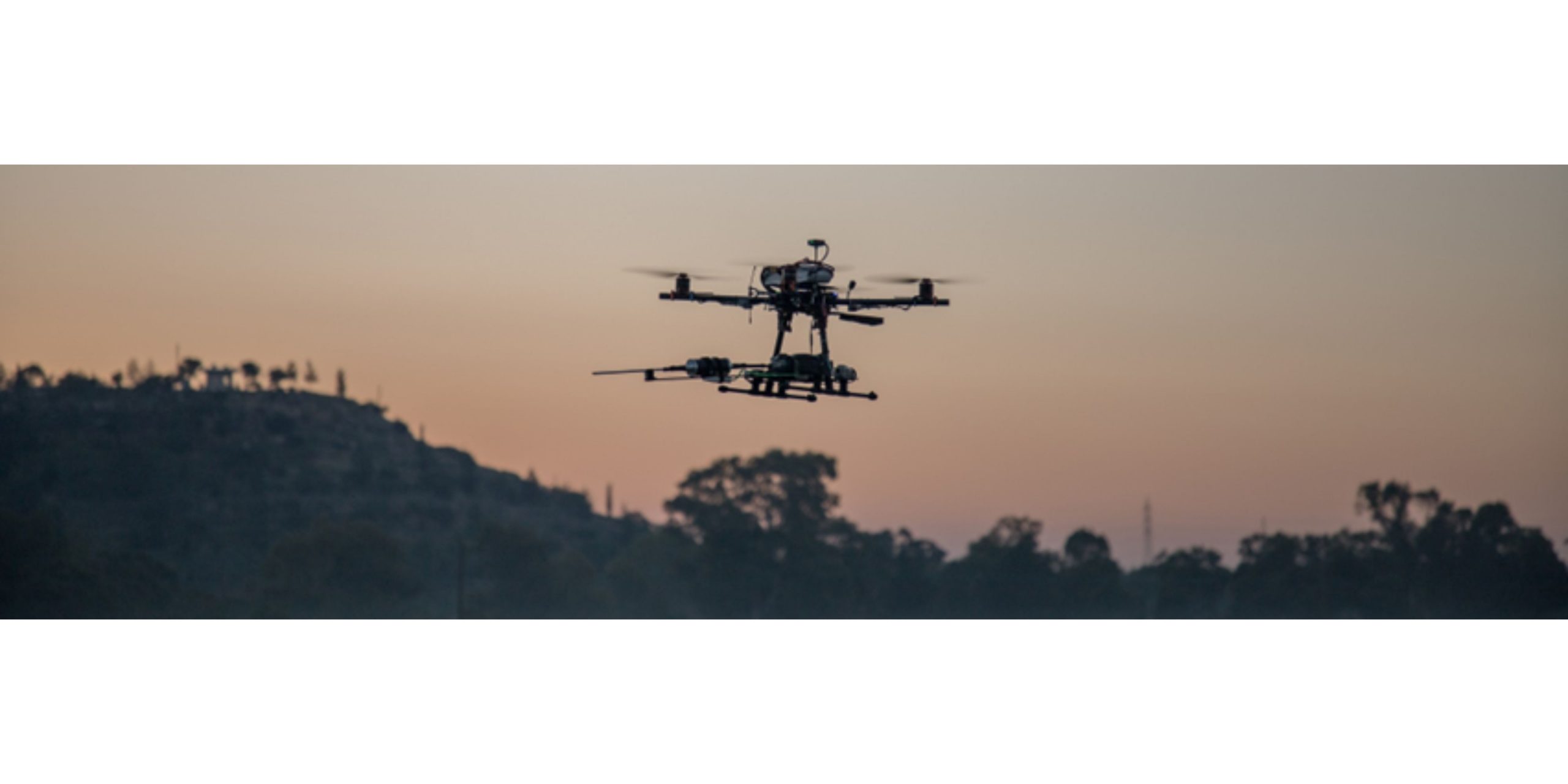
The one-day-long campaign was supported by the Unmanned Systems Research Laboratory (USRL), using a high-performance multi-copter Unmanned Aerial Vehicle (UAV). A novel, miniaturized sensor called an aethalometer was integrated into the UAV. This sensor enables the detection and quantification of the BC emitted by both road vehicles and domestic heating, and also allows for distinguishing the sources. A dense profiling of the atmosphere was performed with a total of 17 scientific flights between ground level and 1,000m altitude, starting shortly before 6:00 local time and continuing until midnight, with a flight every hour. Such a frequency of flights permitted to capture the evolution throughout the day, including the morning traffic peak and the evening wood combustion.
This experiment was an innovative method to infer the concentration of pollutants not only at the surface (where it is routinely monitored) but also at higher altitudes. Regular monitoring of pollutant levels in the upper atmosphere will contribute to a better understanding of the island’s air quality, thus helping policy-makers design sound environmental regulations.
The campaign was conducted within the framework of the Assessment of Climate Change Effects on Pollution Transport in Cyprus (ACCEPT) funded by European Economic Area (EEA) and Norway Grants.
You can watch a drone flight during this campaign here.
Source: The Cyprus Institute I News (https://bit.ly/3Y8DqWW)